Division 01
Subsurface GPR & Magnetometry
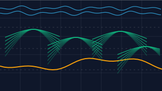
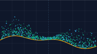
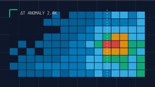
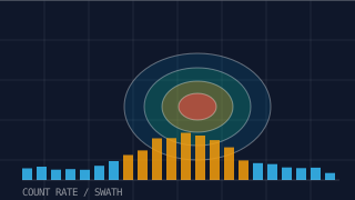
Peat depth, subterranean strata, bedrock mapping and utility corridors resolved without ground disruption. Drone-mounted ground penetrating radar and fluxgate magnetometry deliver full subsurface intelligence over 50+ km per campaign.