
Partnership, Innovation & Academic MOU
Enterprise geospatial delivery backed by academic data validation — so Tier-1 clients receive interpretation they can defend in front of a regulator.
StrataVance works alongside four kinds of partner: Tier-1 infrastructure developers, energy transmission operators, environmental and conservation trusts, and civil engineering EPCs. Each relationship is built around a shared standard — the same instrumentation, the same governance, the same GIS-ready handover — so multi-discipline schemes stay coordinate-consistent from first flight to final deliverable.
A formal memorandum of understanding with the University of Bristol puts advanced academic payloads into operational flight: Bristol provides the specialised drone-mounted radiological sensor programme, StrataVance operates the missions, and academic analysis validates every reading before it reaches a client.
That MOU is the model for the rest of the business — research-grade capability, operated to civilian aviation standards, with the academic layer writing the authority behind every result.
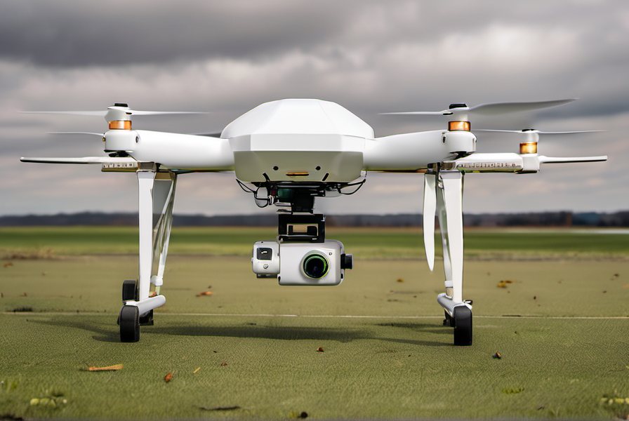 Research payloads · operational flights
Research & Collaboration
The gap between sensor and survey
Specialised academic sensors rarely make it into routine commercial flight. Our MOU exists to close exactly that gap, responsibly and safely.
- University-built sensor payloads flown under operational airworthiness processes
- Every reading academically validated before client issue
- Method statements and uncertainty reporting written for regulatory scrutiny
- Priority capacity for mission research and development programmes
“The aim is not a thicker stack of maps. It is a thinner one — fewer, more defensible datasets, repeated consistently so decisions can rely on them.”
Collaboration Structure
What partners receive
The same terms, the same instrumentation and the same validation framework across every commission that bears the StrataVance name.