
01
Corridor & wayleave engineering
Route geometry, clearance and access design along energy and transport corridors.
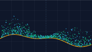
The ground beneath the canopy, measured to survey standard. Dense airborne LiDAR returns are classified to recover bare earth, structure, vegetation and asset clearance in a single pass.
LiDAR pulses penetrate vegetation to return a dense point cloud, and automated classification separates ground, vegetation and man-made assets. The recovered bare-earth surface is the elevation model that corridor and site engineering actually needs — surveyed efficiently over terrain a walking crew could not cover in the timescale.
The same cloud is interrogated for asset clearance: distances to conductors, tree canopies and structures along energy corridors, plus cross-section geometry for route and wayleave design. Vegetation height and density layers support ongoing management programmes.
Volumes, slopes and drainage profiles are computed directly from the classified cloud. Deliverables are issued in the projection and file formats your designers use, with a full method and accuracy statement for audit.
 Division 02
Method
Flight density, classification rules and deliverable formats agreed before mobilisation.
Manned LiDAR lines flown with GNSS/IMU correction and overlap control.
Point cloud merged, classified and hydro-flattened; surfaces and clearance envelopes derived.
DTM, DSM and clearance products issued with accuracy report.
Deliverables
Survey-accurate surfaces and geometry, not just pretty pictures.
Typically Applied To
01
Route geometry, clearance and access design along energy and transport corridors.
02
Exact elevation baselines for platform design and drainage.
03
Canopy height and clearance layers feeding inspection programmes.
Continue Reading